Automatic Rain Gauge
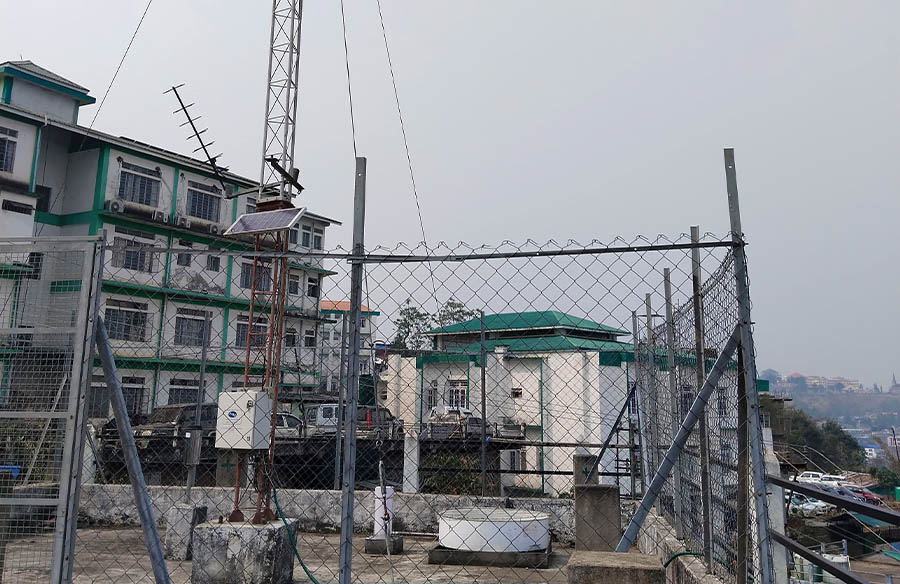
Automatic Weather Station
Automatic Water Level Recorder
Digital Water Level Recorder
Station
Total Water Bodies
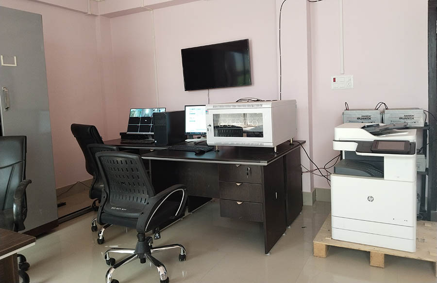
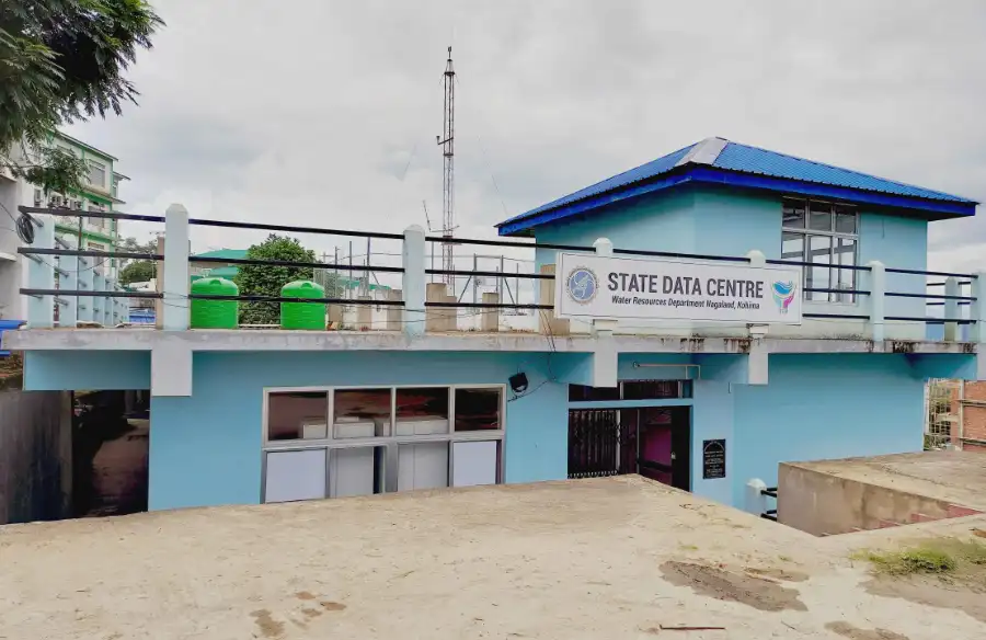
Water Resources Information System
Nagaland Water Resource Information System is a "Single Window Solution" providing comprehensive information on Nagaland Water Resources in a state GIS Framwework for monitoring,analysing,planning,developement and management of water respources in the State.
Its Objective are:
Nagaland Water Resource Information System is a "Single Window Solution" providing comprehensive information on Nagaland Water Resources in a state GIS Framwework for monitoring, analysing,planning, developement and management of water respources in the State.
Department of Water Resource,
Below Nagaland Civil Secretariat Complex,
Ruziezou, Kohima- 797 001
For best experience view site in 1024 X 1080 resolution. Supports all modern browsers Chrome v84+,
Safari 4+, Mozilla Firefox v90+.
The WRIS Portal is W3C, GIGW and WCAG 2.0 compliant
Copyright © 2026 Department of Water Resource. All
Rights
Reserved.